Precision drone media for commercial success
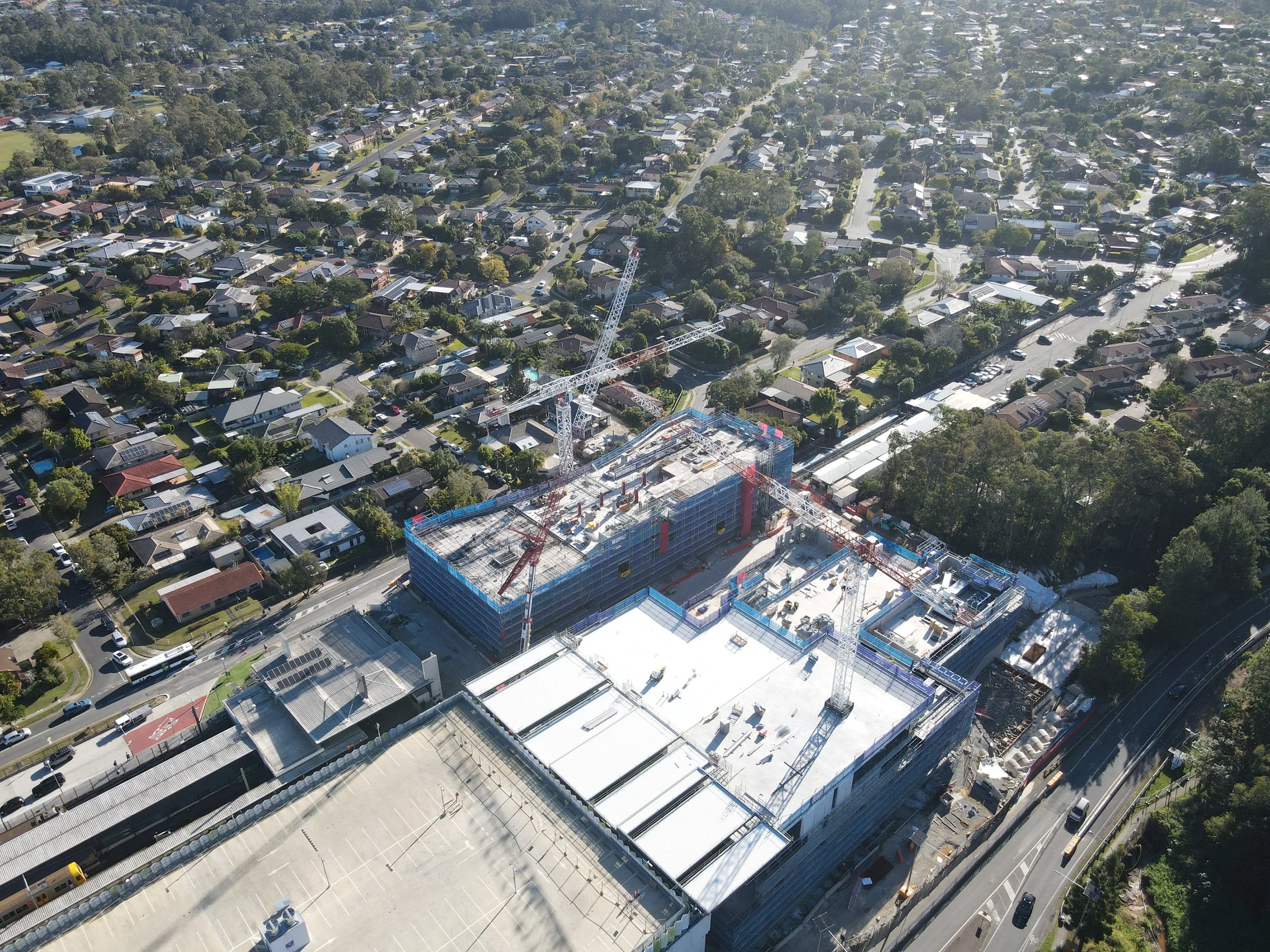
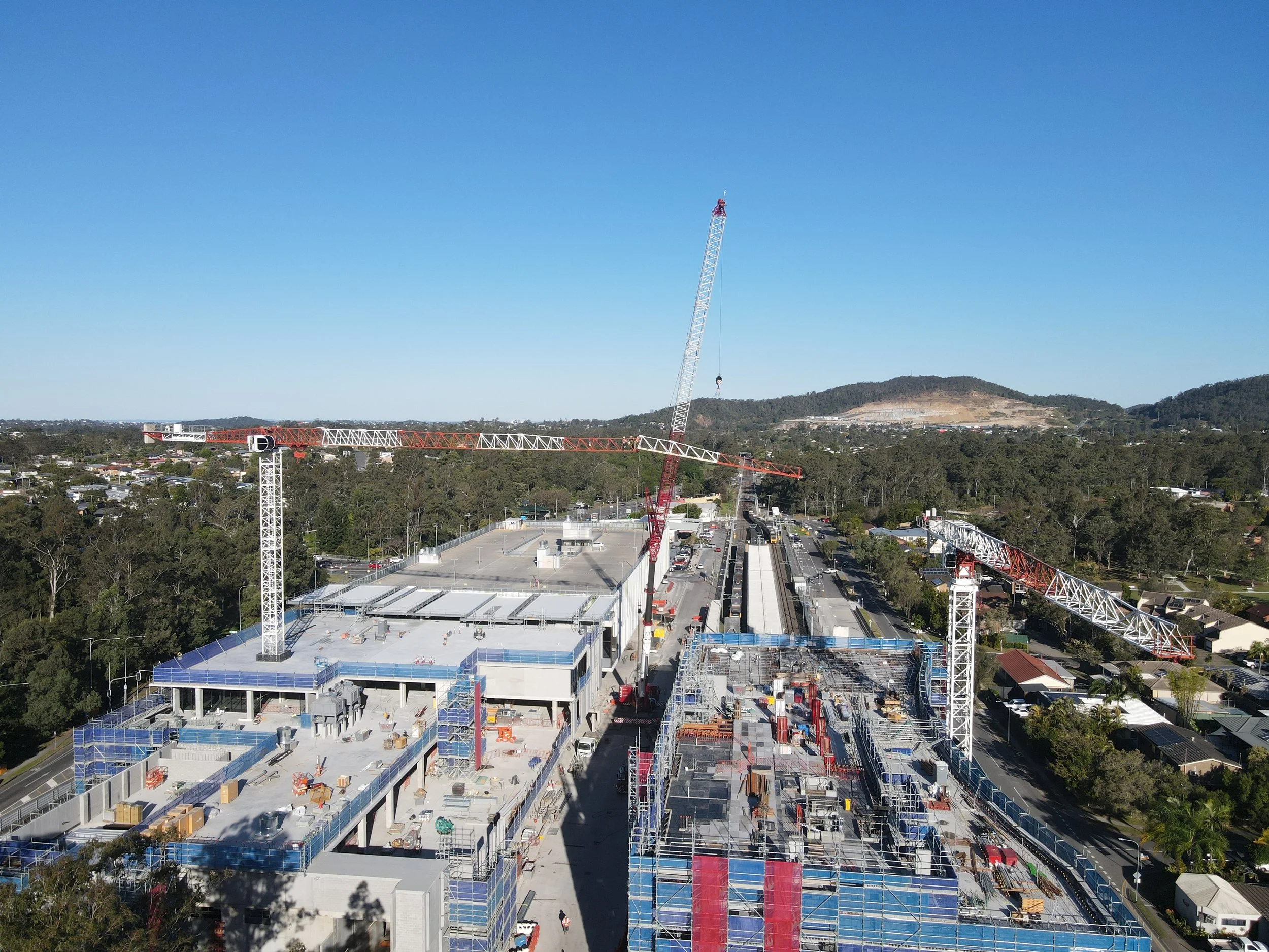
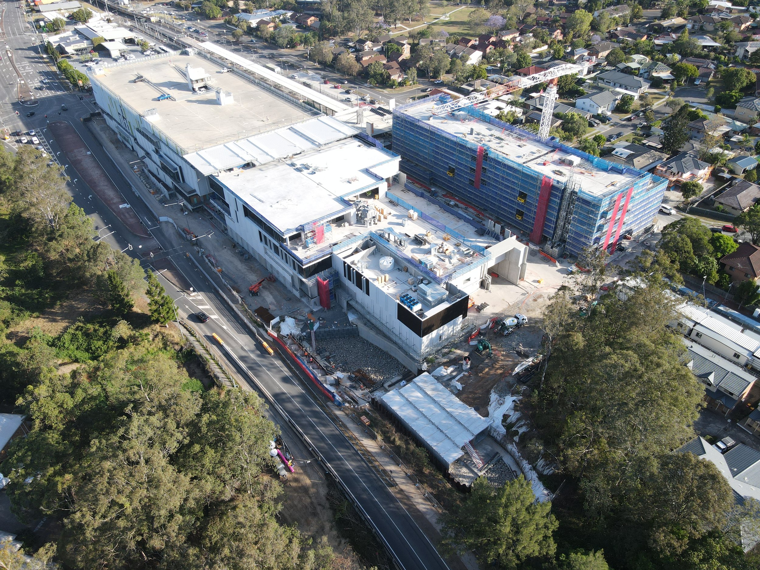
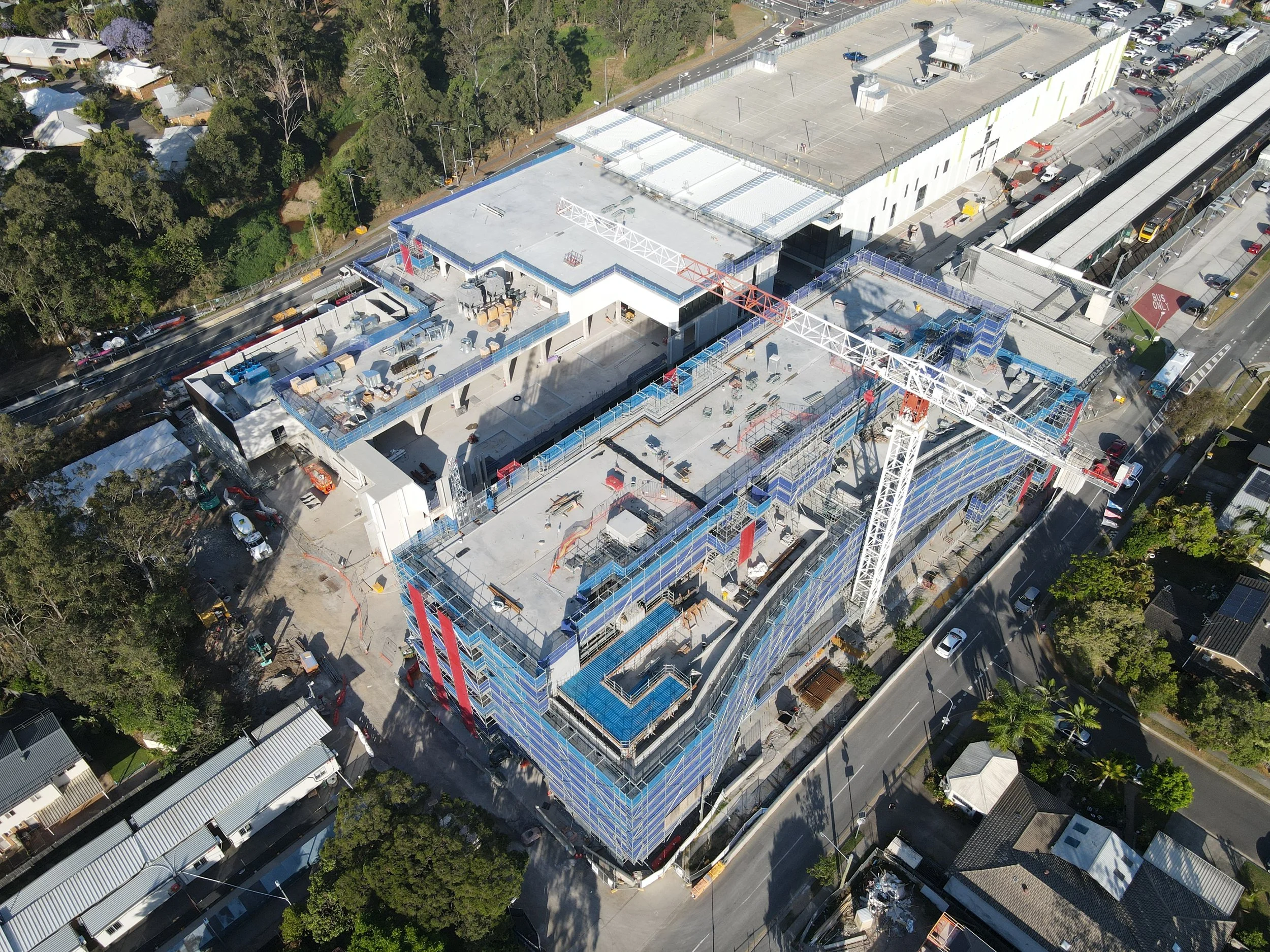
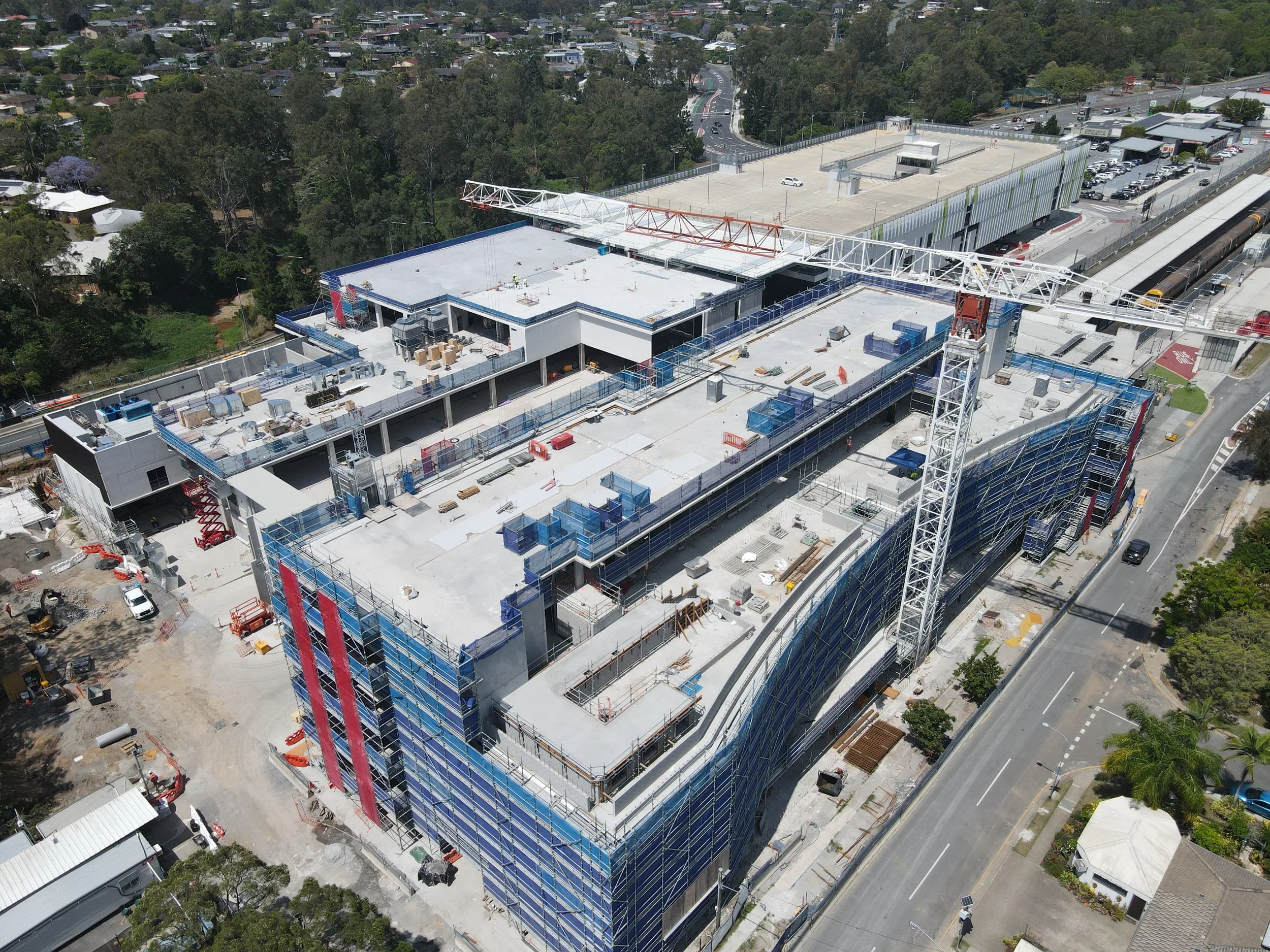
Ascent Visuals specialise in transforming construction site management through high-resolution drone imaging.
We provide critical, real-time visual data for site progress monitoring, asset inspection, and safety compliance.
Our services deliver detailed orthomosaic maps and 3D modeling, allowing you to track project timelines, verify material stockpiles, and identify issues faster than traditional methods.
Stop guessing - start managing with precision aerial insight.